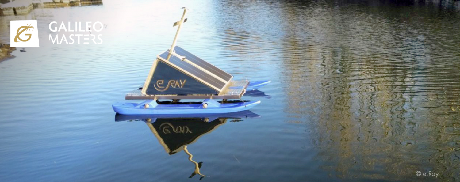
WAMO is a real-time surface water assessment platform for flood warnings and algal monitoring and control. The free-floating platform integrates different sensors for accurate and...
GENUINE adopts an innovative approach based on deep learning to reduce the resolution gap between UAV and satellite images. The service generates prescription...