The new Copernicus Masters partner Planet created an end-to-end imaging chain pipeline that provides about 1.5 million images per day. Now that’s what you call big data from space!
Planet’s platform takes the satellite images, aligns them to the ground, and then applies algorithms and machine learning in order to understand what is occurring in the image, such as daily changes on the ground.
The launch of 146 satellites in 2017, including the record-breaking 88 Dove satellites on a single rocket, shows impressively how Planet has rapidly established itself as one of the most innovative commercial space companies.
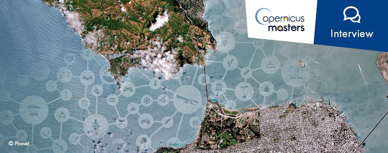
Read more about Planet’s mission, their Planet Daily Change Challenge in the Copernicus Masters, and why participants should not miss out on submitting their idea. Brian Groth (BG), Director of Partner Programs & Sales Enablement of Planet, is interviewed by Florentyna Smith (FS), Project Manager of the Copernicus Masters.
FS: Planet has a real startup story! How did it all begin?
BG: It began in 2010 when our three co-founders, Will Marshall, Robbie Schingler, and Chris Boshuizen left NASA to start the company. Their idea was that consumer technology – like what’s in mobile phones – could be used to make smaller, cheaper satellites that were still very capable. With smaller satellites you could launch many more into orbit and do different types of missions. Three years later in 2013 they launched Planet’s first satellites into orbit and have since launched over 300.
FS: Planet has its roots in North America, but we see a growing presence in Europe. Can you tell us what exactly makes Europe attractive for Planet?
BG: In 2015, Planet Labs acquired BlackBridge and its RapidEye constellation, which was operated out of Berlin. So keeping that European team was important to advance what Planet wanted to do, but we also recognise Europe as an important player in the space industry.
Increased investment from the government, new private-public partnership models, and appetite for disruption are driving Europe’s commercial space sector to assume a more dominate role. With the Copernicus programme and momentum building around policies and programmes, now is the best time for Planet to support European innovators.
FS: Daily satellite imagery is a giant leap forward for Earth observation (EO). What are the benefits for industry?
BG: With a new image of everywhere on earth every day, Planet can see change as it happens across the whole planet. Industries can monitor their own projects, locations, investments and infrastructure, but also build predictive analytics based on changes observed on the ground day after day. They can also monitor competitive assets or build regional or global predictions, which are useful for insurance purposes and commodity investments.
FS: Now Planet has achieved the massive milestone of imaging the world daily, can you tell us what Planet will be doing with all this data and how the Earth observation community can access it?
BG: Soon, we will pilot our Platform for Analytics. This platform unifies our imagery catalogue and analytic capabilities into a single API, allowing developers to tap into our imagery pipeline and customise how our imagery is delivered and managed. This powerful new platform will answer questions about the physical world and provide users with the information they need to make smarter, faster decisions.
FS: So, how exactly does the Planet Platform empower developers to create successful EO applications?
BG: Everything we do with our imagery is meant to make it easy to perform analysis on it. For example, in our imagery pipeline, we make a variety of corrections to deliver analysis-ready data. This includes orthorectification so the image is located on a map in the right place, radiometric corrections to fix any sensor artifacts, and atmosphere corrections to accommodate for different conditions over time.
FS: Your Planet Daily Change Challenge of the Copernicus Masters outlines a number of markets Planet is interested in. Can you pick two and explain why Earth observation is the perfect match?
BG: Earth observation is a perfect match for both agriculture and defense & intelligence. Planet is the leading provider of geospatial data in the agriculture market. Due to our high cadence imaging, growers can take immediate action to correct crop-related issues before they affect yields. This increases crop yield and ultimately impacts farmer’s bottom lines.
Defense & Intelligence allows governments to get situational awareness in locations of importance, including a country’s own borders and neighbouring countries. This becomes very important for both business and governments with unstable neighbouring governments and refugee situations.
FS: What does your ideal Earth observation application look like and what can it do?
BG: It is hard to say considering EO applications are generally very specific. However, an ideal EO application is laser focused on the changes happening to specific assets and locations of interest. This grants the user the ability to spend time deciding how to react and disseminate this information, rather than manually analysing satellite images.
Build your solution with the Planet Platform through the Planet Daily Change Challenge of the Copernicus Masters 2018.


