Flooding is a major global problem. In Bangladesh, for example, flooding causes 5,000 deaths each year. In order to properly assess flood risks, an accurate surface elevation map is needed. Unfortunately, this is not available in most countries, as sending surveyors to measure an entire country is too expensive and satellite measurements are not accurate enough.
This is where All4Elevation comes into play: By combining satellite navigation systems, smartphones, and novel software solutions the Dutch startup provides cheap, fast and accurate elevation measurements for better flood prevention and mitigation.
Discover how the ESNC contributed to the company creation of All4Elevation which has just become a new ESA BIC Noordwijk incubatee!
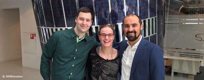
AZO Project Officer Luisa Wagner (LW) interviews Alexander Gunkel (AG), Managing Director & Co-Founder at All4Elevation.
5 Questions to All4Elevation
LW: Please give us a sneak peek of your product and the team behind it.
AG: Our startup All4Elevation is improving flood predictions to prevent damage, injuries and deaths caused by flooding. Our approach to solving this problem is to make elevation measurements, the basic ingredient for flood predictions, both accurate and affordable instead of trading one off against the other. We are doing this by turning smartphones into “smart sensors” which can take the elevation measurements with the help of the new Galileo satellite navigation system as well as ever improving equipment within smartphones. Since our goal is to offer a global solution for better flood predictions, we want to crowdsource our application and reach as many smartphones as possible when offering the data as a service to our customers.
LW: What was your company’s biggest challenge so far?
AG: We have already succeeded in founding the company and being accepted into the ESA Business Incubation Centre (BIC) Noordwijk, Netherlands, which both seemed to be the greatest challenges at the time. We have also just completed our proof of principle, which actually demonstrates our ability to take elevation measurements. Currently, our biggest challenge is to monetise our next proof of concept phase in which we aim to improve our accuracy even further and implement our solution with co-development partners and launching customers on a small scale.
LW: Can you explain the three main ingredients of your recipe for success?
AG: All4Elevation is formed from the best of the corporate and the startup world; two talented CGI software engineers, who came up with the idea, are turning it into a feasible solution, and an independent social entrepreneur guiding the company to be impactful, scalable and commercially viable. Accordingly, we bring personal, educational and cultural diversity to the table while being united by our common goal of preventing damage, injury and death caused by flooding. Finally, we are supported by CGI, a multi-national IT consultancy. CGI supports us with its network, its wealth of expertise and, of course, by making Jeroen and Ingrid available to work at All4Elevation.
LW: What do you expect from the ESNC? How did the competition and its network help you to kick-start your business case?
AG: The ESNC helped us immensely to form the starting point of All4Elevation as we finally put the ideas that had been circulating in our heads for a long time down on paper. Winning the ESNC The Netherlands Prize gave our idea more credibility and led to Alex joining our team to form an actual company. This means that there wouldn’t be any All4Elevation without the ESNC. Of course, the competition was also a lot of fun and allowed us to meet many interesting people and make relevant connections, for example at the ESNC Awards Ceremony and the 3rd Satellite Masters Conference in Madrid, Spain, last year.
LW: Let’s reach for the stars – what is going to happen in your company’s future?
AG: Our five-year goal with All4Elevation is to help save 3,000 lives, protect three million houses and avoid EUR 3 billion in damages. But, to be honest, we don’t want to stop there. We see a great deal of potential in using space infrastructure and services to tackle social and environmental problems and will continuously explore new possibilities to make a positive impact in the world!
Find out more on All4Elevation’s official website www.all4elevation.com
Last but not least:
AG: All4Elevation has big goals and will require great team members and strong partners along the way. We are currently looking for a technical co-founder to join our team, as well as funding opportunities and launching customers for the next stages of our product development. If you think you can help, just drop us a line to hello@all4elevation.com and follow us on Twitter and Linkedin.
About the European Satellite Navigation Competition (ESNC)
The ESNC’s annual search for new services, products, and business innovations is designed to encourage the use of satellite navigation in everyday life. Over more than 10 years, it has evolved into the leading innovation competition comprising partner regions worldwide, the largest space-related incubation network and the most relevant European GNSS stakeholders. The ESNC’s newest feature is Europe’s largest E-GNSS Accelerator, providing more prizes, services and three further business incubations. This year’s best ESNC business cases are presented in Tallinn, Estonia. Pre-register now www.eusw2017.eu/


