Coastal areas are among the most dynamic environments on Earth. They shift with the tides, respond to storms, absorb the pressure of human activity, and sustain ecosystems and economies that millions of people depend on. Yet understanding these fragile zones remains a major scientific challenge.
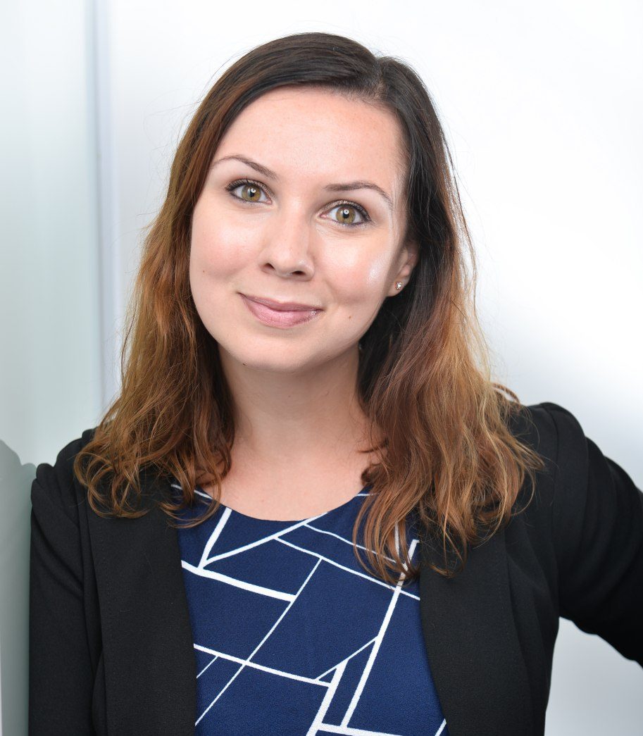
For Isabel Caballero de Frutos, this challenge has shaped more than a research project. It has become a long-term mission: to improve how we observe, understand and protect coastal environments using Earth Observation data.
Her project, IMCOAST, explores how Sentinel-2 satellites from the Copernicus programme can be used to monitor coastal waters with greater detail, consistency and operational value. By adapting satellite data originally designed mainly for terrestrial applications, Isabel’s work is opening new possibilities for coastal science, environmental management and the Blue Economy.
Turning Sentinel-2 into a coastal monitoring tool
Sentinel-2 was not originally conceived as an ocean-colour instrument. This is precisely what makes Isabel’s approach innovative.
Using Sentinel-2 to monitor coastal waters means working with a mission that was primarily designed for land applications and adapting it to highly complex marine and coastal environments. These areas are optically challenging, constantly changing and influenced by many overlapping processes, from sediment dynamics and water quality changes to extreme weather events.
As Isabel explains through a memorable metaphor, using Sentinel-2 to map coastal water masses can feel “like playing a football game with a basketball.” The instrument can do remarkable things, but only if the right methodologies are developed around it.
This is where IMCOAST comes in.
The project focuses on developing advanced methods for seafloor mapping, change detection, water-quality assessment, and the monitoring of ecological processes such as harmful algal blooms and eutrophication. The goal is not only to produce scientific outputs, but to create satellite-derived products that are reliable, transferable and useful for real-world decision-making.
an support coastal health, planning and management.
Why coastal monitoring matters now
The urgency is clear. Coastal regions are on the frontline of climate change, environmental degradation and increasing human pressure. Rising temperatures, extreme events, erosion, pollution and ecosystem stress are already reshaping these environments.
Monitoring them from space can provide something that traditional observation alone cannot: continuous, scalable and comparable information across large areas.
But coastal waters are difficult to observe. They are shallow, heterogeneous and highly dynamic. Conditions can change not only from day to day, but from hour to hour. Detecting subtle shifts in water quality, identifying early signs of ecosystem degradation, or assessing the impact of storms and natural disasters requires very high spatial, spectral and temporal resolution.
For Isabel, the next step in coastal Earth Observation is therefore not only about having more data. It is about building better methods, testing them across different conditions, and translating them into indicators that can support coastal health, planning and management.
Combining satellite data with field measurements
One of the strengths of Isabel’s research is the combination of satellite observations with in situ measurements.
Satellite data can provide scale and continuity, but field measurements are essential for validation. They help confirm whether satellite-derived products are accurate, consistent and robust under different optical and atmospheric conditions.
In her work with Sentinel-2, Isabel applies rigorous preprocessing frameworks, atmospheric and sunglint correction, and fine-tuned algorithms to reduce uncertainties. In situ observations then play a critical role in calibration and validation, helping ensure that the final outputs are not only scientifically sound, but reliable enough to be used beyond the research context.
This connection between space-based data and field-based evidence is central to making coastal monitoring actionable.
From scientific innovation to Blue Economy impact
The potential applications of IMCOAST extend across several sectors.
Improved coastal monitoring can support aquaculture, fisheries, tourism, navigation, conservation, resource management and coastal planning. It can help decision-makers understand where changes are happening, how fast they are developing, and what risks may be emerging.
This is particularly relevant for vulnerable coastal areas, where timely and accurate information can support better environmental protection and more sustainable management.
For policymakers and coastal communities, Isabel’s work sends a clear message: Earth Observation is not an abstract scientific tool. It can become a practical instrument for understanding change, anticipating risks and supporting more resilient decisions.
A recognition of research, collaboration and persistence
Receiving the EO Excellence Award represents an important milestone for Isabel, both personally and professionally.
For her, the award is a recognition of years of research dedicated to improving coastal monitoring and developing tools based on open European satellite data. It is also a motivation to continue expanding collaborative networks and advancing new approaches to coastal observation.
At the same time, she sees the achievement as a collective one. Science, in her words, is a shared effort. The award is not only about individual recognition, but also about the colleagues, collaborators, young researchers and family members who have supported the journey.
The associated research grant will help strengthen cooperation with international groups in Europe, the United States and South America. It will support targeted travel, research stays, scientific conferences, specialised workshops and training activities, helping Isabel and her team move the work forward.
Looking ahead: a decade of coastal intelligence
Isabel remembers working with her first Sentinel-2 image back in 2015. A decade later, the award offers a moment to look back at the scientific challenges overcome and the possibilities still ahead.
The long-term vision is ambitious: to make Earth Observation a stronger pillar of coastal protection and sustainable management.
If IMCOAST succeeds, its impact will go beyond better maps or more refined algorithms. It could help build a future where vulnerable coastal areas are monitored more effectively, environmental changes are detected earlier, and decision-makers have the information they need to act with greater confidence.
In a world where coastlines are changing faster than ever, seeing them clearly from space may become one of the most important tools we have to protect them.