For the 10th edition of the Space App Camp, an all-new enhanced mentoring programme was held with the support of dedicated experts and content mentors from the ESA Φ-lab.
From 20 July to 20 September, ESA invited 17 developers to participate in its prestigious Space App Camp. Over these eight weeks, the participants learnt how to combine Earth observation data from the European Copernicus programme with mobile app design and came up with mature app prototypes by the end of the competition.
Due to Covid-19, the Space App Camp was transformed into a virtual competition that hosted participants from 17 countries all around the world. Their existing expertise covered a wide range of domains, such as app development, business development, artificial intelligence, machine learning, and Earth observation.
This year’s edition was a big success thanks to the collaboration of its highly committed mentors, organisers, international experts, and exceptional guests such as Thomas Reiter, Europe´s most experienced astronaut. Each team developed their app idea in one of the following categories: Smart Cities, Marine Litter and Coastal Management, Early Warning Fire Detection, Transport, and Land Cover.
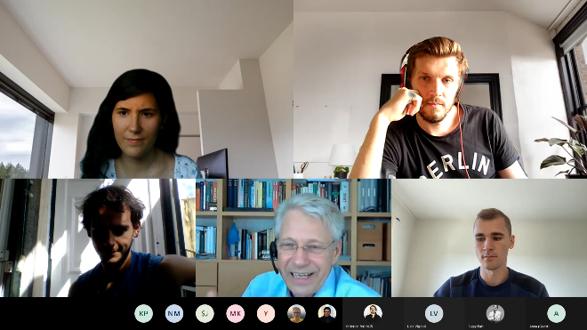
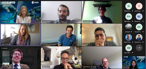
During the awards ceremony, Wildfire Map was selected as the winning team. They received a EUR 2,500 cash prize,and a unique Earth observation support package worth approximately EUR 3,500!
ESA also surprised our participants with the announcement of an all-expenses-paid trip for all participants to Bonn, Germany, for the ESA’s Living Planet Symposium 2022.
Moreover, there were special awards for teams within the following subcategories:
- Sustainability Impact- Float
- Best User Interface – CitiZeen
- Best Business Idea and Best Data Mashup – FORTISKY by VIZGARD
- Best Foresight -PARA
In the field of early fire detection, Wildfires Map shows the location and impact of recent wildfires via accurate and timely maps. People can also stay connected by sharing information about their location and whether they are safe.
The app offers protection from wildfires to a wide range of users, including owners of property/assets at risk, local authorities/organisations, local businesses, NGOs, and private associations.Among the apps developed during the App Camp was Pace Vector, which estimates the velocity of trains, cars, and trucks using satellite images. From railway freight companies, logistic planners, traffic managers, and municipal authorities to companies that trade in perishable goods, this app offers a solution to a wide range of users in the tracking market.
For users interested in land monitoring, My Field is a mobile app designed to farmers how to prepare for an upcoming growing season by predicting rainfall with information derived from Sentinel-3. They will receive information in simple terms and in reference to past climate events that should be familiar to them. Through the information provided in the app, farmers will be able to anticipate their water needs and even predict their total crop production.
For users concerned about climate change, Float – Satellite Monitoring for Marine Debris offers a solution to locate, track, and report large concentrations of floating plastic debris around coastal areas to facilitate operations or plan private cleaning expeditions. Via its easy-to-use interface, users can scan areas of interest for potential floating debris, save the results, and share them with the app’s community. Float will be a major contributor to the fight against global warming, which is harming the biosphere both at sea and on land.
FORTISKY is a mobile app that combines time-critical satellite data from several providers in one place. At the press of a button, one or more unmanned aerial or surface vehicles can be tasked with autonomously capturing and analysing data at a given scene using the app’s state-of-the-art onboard computer vision system. FORTISKY can thus address a gap in satellite data and provide customers with the fastest and easiest way to gather information on an area of interest.
Citizen is an app idea that helps locate and monitor thousands of green spaces remotely with space tech. It is also capable of monitoring vegetation status and various features of green areas (whether they are pet friendly, accessible to those with reduced mobility, etc). Citizen is specially designed for people who live in green urban areas, as well as municipalities, app/AI developers, and advertisers.
The goal of PARA (Predictive and Adaptive Road Analyzer) is to use smartphones in vehicles to detect road quality both remotely and globally by means of local measurements and processed images from Earth observation satellites. The road quality information derived from Earth observation images will be especially useful in the initial scale-up phase of the project, when the number of users is low.
This unique event was initiated by ESA in 2012 and has since been organised by AZO Anwendungszentrum GmbH Oberpfaffenhofen and RAMANI. The 2021 virtual edition featured enhanced cooperation with the ESA Ф-Lab.

Comments are closed.