The research of Susanna Ebmeier centers on leveraging satellite imagery for volcano science. She is particularly driven to enhance the utility of Synthetic Aperture Radar (SAR) in monitoring volcanic hazards and advancing fundamental scientific understanding. Through extensive collaboration with volcano observatory colleagues, she has pioneered novel methods for measuring volcanic topographic change, employing machine learning to distinguish volcanic signals from noise, and interpreting global volcanic deformation datasets. Her primary datasets are derived from ESA’s Sentinel-1, ASI’s CosmoSkyMed, and DLR’s TerraSAR and Tandem-X.
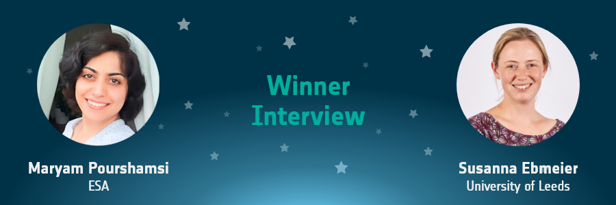
Maryam Pourshamsi (MP) spoke to Susanna Ebmeier (SE) about her experience with the EO Excellence Award half a year after she won the Individual Award 2023.
MP: Please give us a sneak peek of the project for which you won the EO Excellence Award.
SE: My research focusses on how volcanic processes cause deformation of the Earth’s surface. I’m particularly motivated by using satellite data for applied questions – for example, how best to monitor volcanic unrest and detect small changes related to magma movement. I’m also interested in how to separate volcanic signals from noise in satellite radar imagery, both for studying individual volcanoes and for analysing imagery on a regional or even global scale. Better measurements of volcano deformation lead to a better understanding of the processes that drive volcanic and therefore improve our ability to forecast changes.
MP: What motivated you to participate in the EO Excellence Award as a Nominee?
SE: I was honoured to accept nomination for the EO Excellence Award, and I hope that this award contributes to the profile of volcano science as an important application of European satellite datasets. The provision of high-resolution radar for volcano science by European Space Agencies, for example through Committee for Earth Observation Satellites Demonstrator projects, has a tangible impact on volcano monitoring, research and therefore decision making relating to hazard. I hope that this award will increase the visibility of this topic for ESA and the other European Agencies.
MP: How was your experience with the EO Excellence Award?
SE: I actually accepted the award nomination and submitted the paperwork on the day before I went on maternity leave, and I heard the outcome while I was still on leave with my new-born son, so it was a very pleasant surprise. I am especially grateful that the award committee has supported me to delay attendance at EGU until 2024 and I am looking forward to presenting my latest research then. I would like to thank my very supportive network of collaborators, former supervisors, colleagues and current students. I think that the best, as well as the most rewarding research is always collaborative.
MP: You mentioned that European EO satellite datasets have been an integral part of your research. What are your expectations from future ESA missions regarding data quality and continuity?
SE: For us, the best aspect of ESA’s Sentinel-1 mission is the consistency and reliability of its acquisition strategy. That may not sound very exciting, but it allows us to build up the long-term time series of volcano displacements that are critical for volcano monitoring, and also detect increasingly subtle long-term processes as the time series gets longer. This means that the longer the mission goes on acquiring the same quality of imagery, the greater the number of novel science questions we can address.
MP: Can you comment on the potential of Machine Learning and Deep Learning methods in satellite volcanology? How has your experience been with that till now?
SE: The huge increase in the volume and quality of satellite radar imagery in the past decade now requires the development of automated analysis essential for fully exploiting it. Machine learning is powerful for classification of imagery, but also for its analysis. For example, blind source separation methods are now increasingly being used to extract the components of an interferometric synthetic aperture radar signal that reflect volcanic or tectonic deformation. This means we can tease apart the true volcanic signals from the atmospheric noise, yielding important insights into the behaviour of volcanos between eruptions.
MP: In your opinion, how big is the gap between scientific/academic research and civilian disaster management in terms of volcanic activity? Does that act as a motivator for your research?
SE: The use of satellite imagery for volcano monitoring varies hugely around the world depending on local capacity. In some places it is already an important part of monitoring streams routinely integrated with ground-based measurements. In others, it is used on an occasional basis, if at all. I think connecting state-of-the-art satellite imagery and analysis methods with volcano monitoring should be a primary aim for our field. Satellite radar can make a unique contribution to the baseline monitoring of volcanic activity, as well as providing unique information about the location, geometry and characteristics of the magma movement driving eruptions. But that collaboration goes both ways – I’ve found that questions that come from volcano monitoring can be a good driver for the development of original approaches to interpreting satellite imagery too.
If you know someone who deserves to win the EO Excellence Award 2024, please nominate them on https://www.eoxcellence.com/!
About the Author

Maryam Pourshamsi is an Earth Observation Scientist at European Space Agency. She coordinates the EO Excellence Award 2024. The award recognises and honours an individual early career scientist and team that have made an outstanding contribution to the innovative use of Earth Observations, with a focus on the use of European EO datasets in the field of science and applications.
